

States & cities
GA, SC & NC
195 airports · 9.75 x 9.75 in (25 x 25 cm)
$298In stock · Ships from the USA
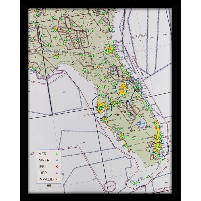
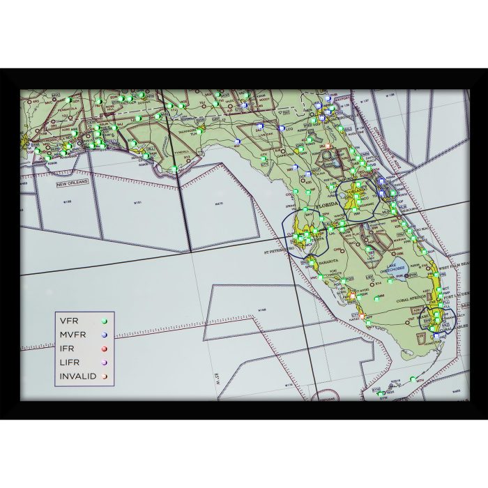
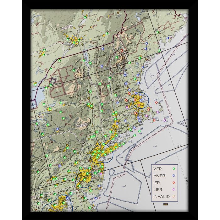
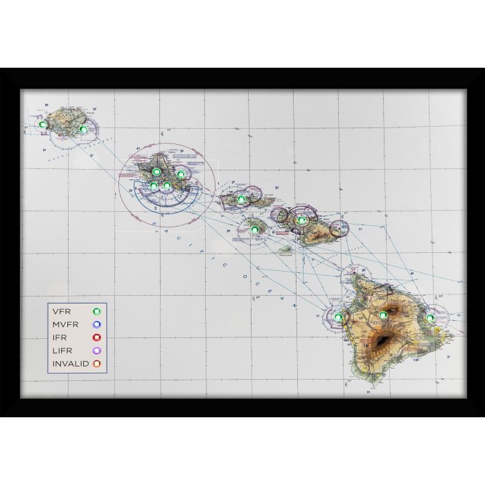
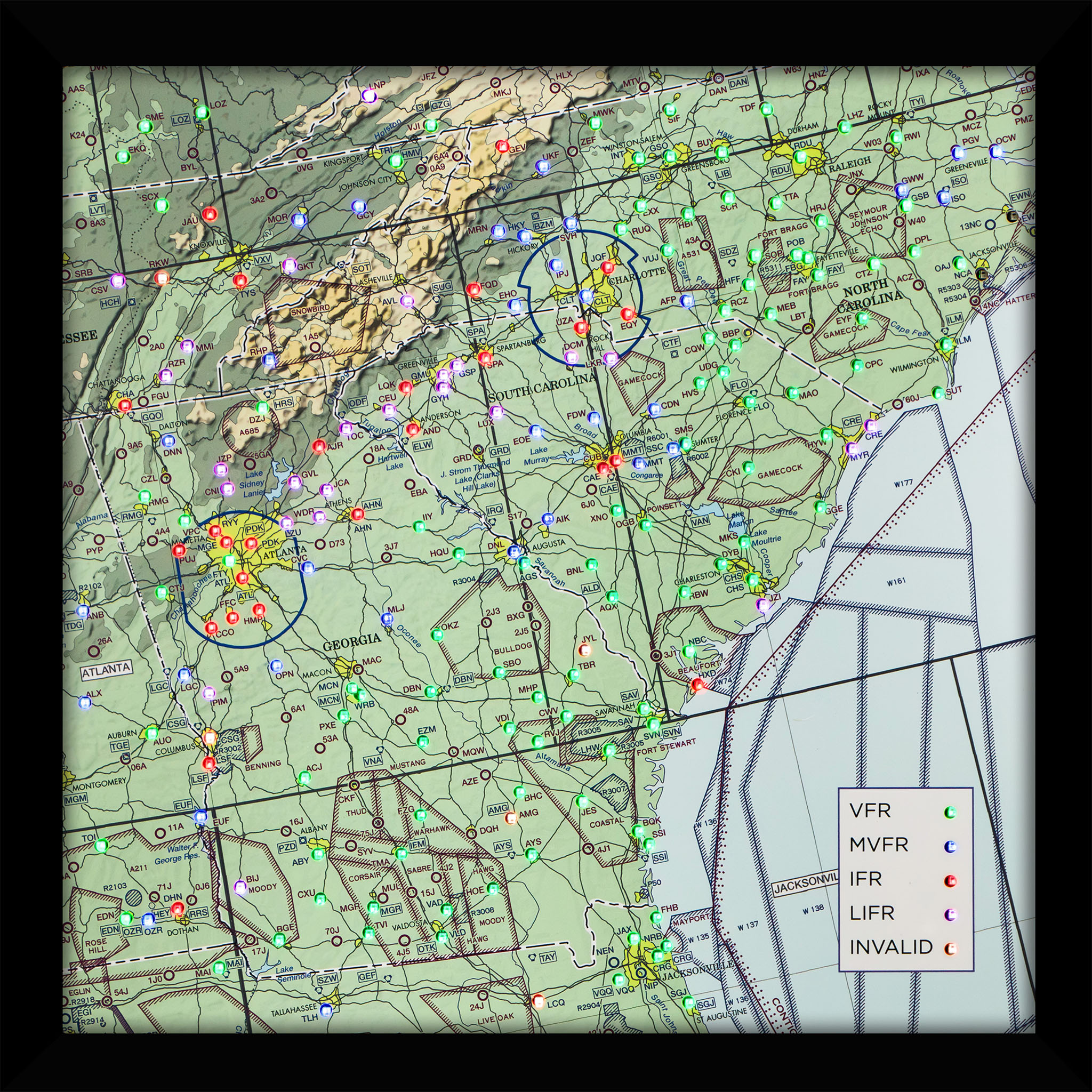
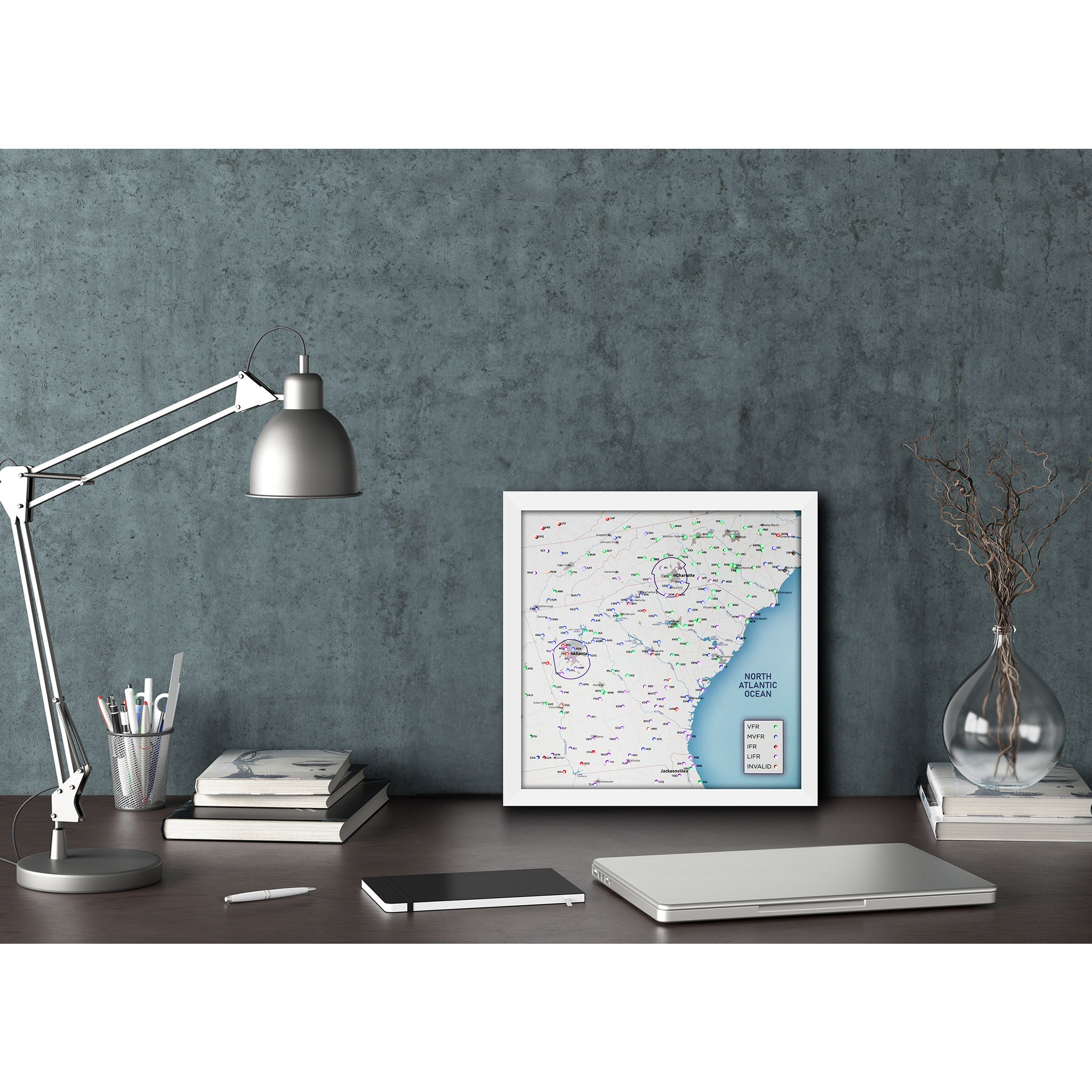
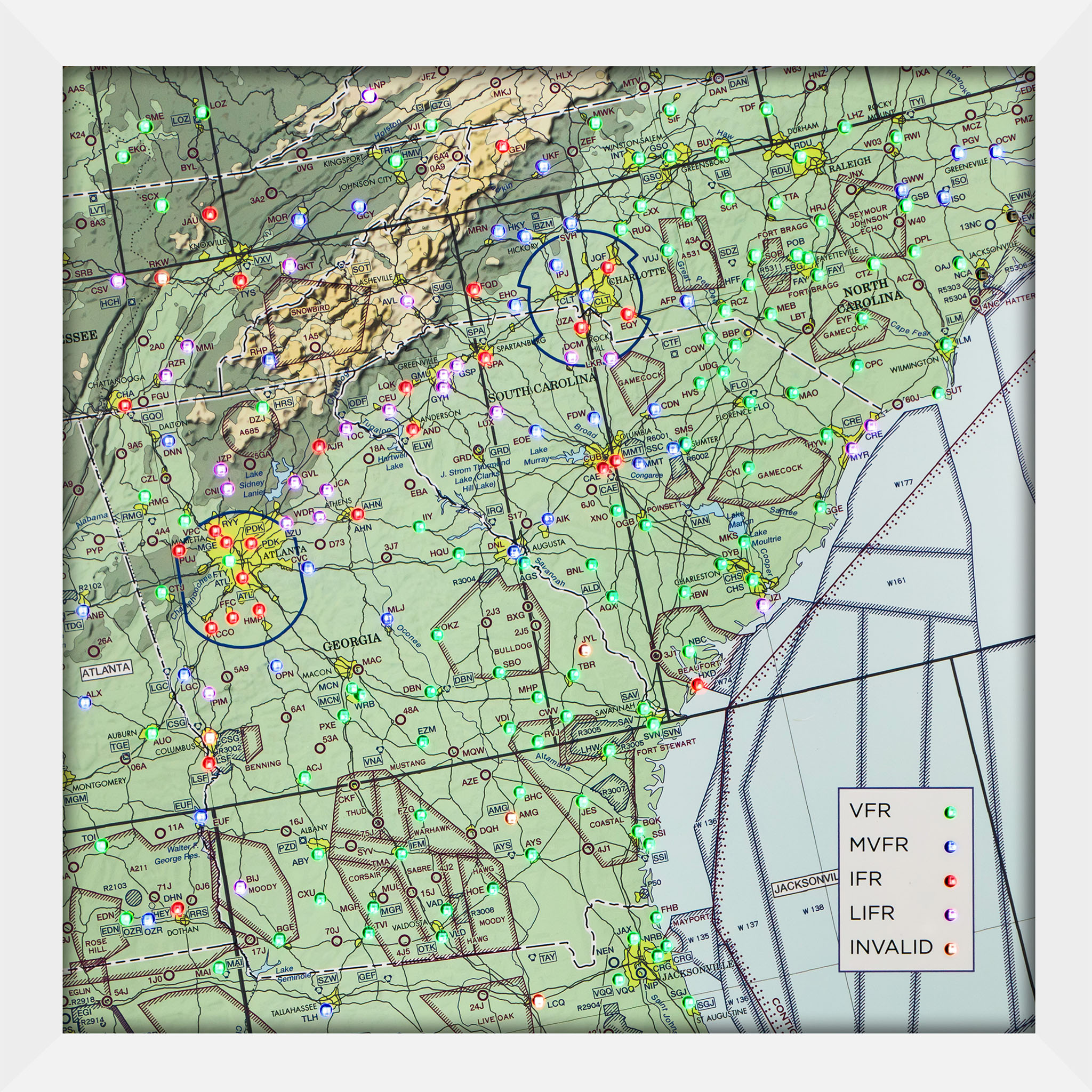
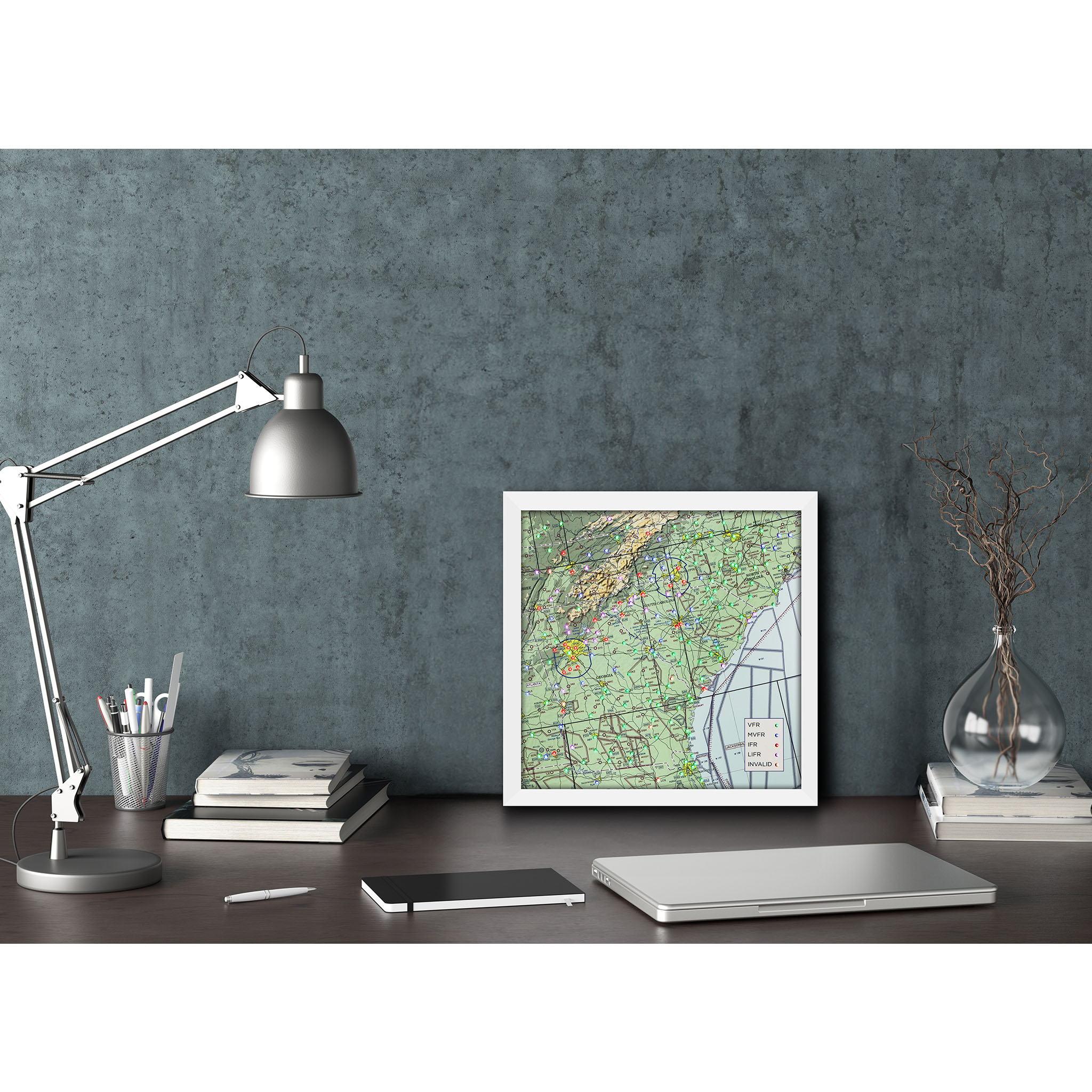
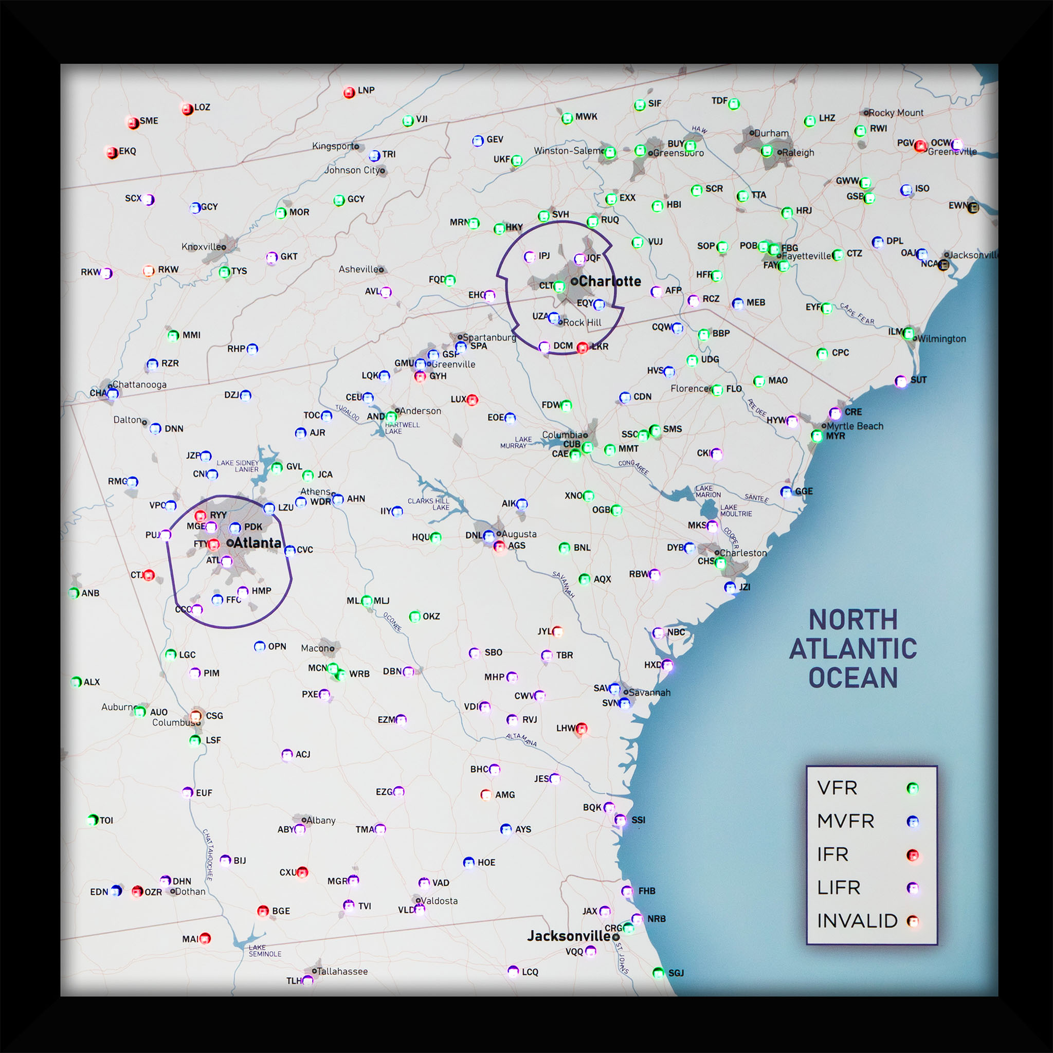
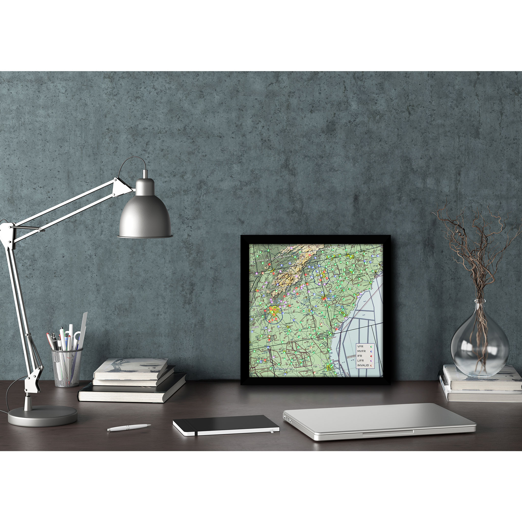
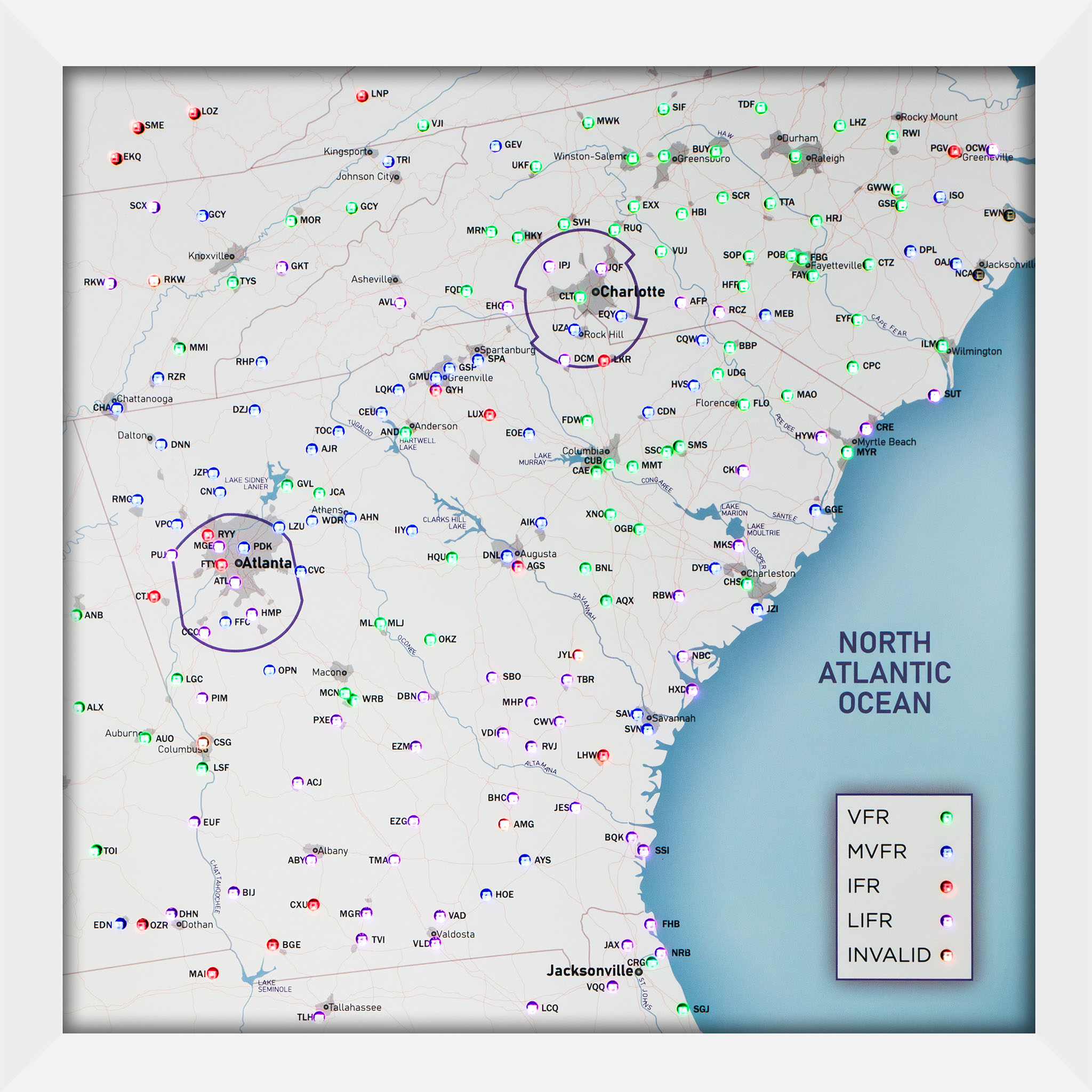
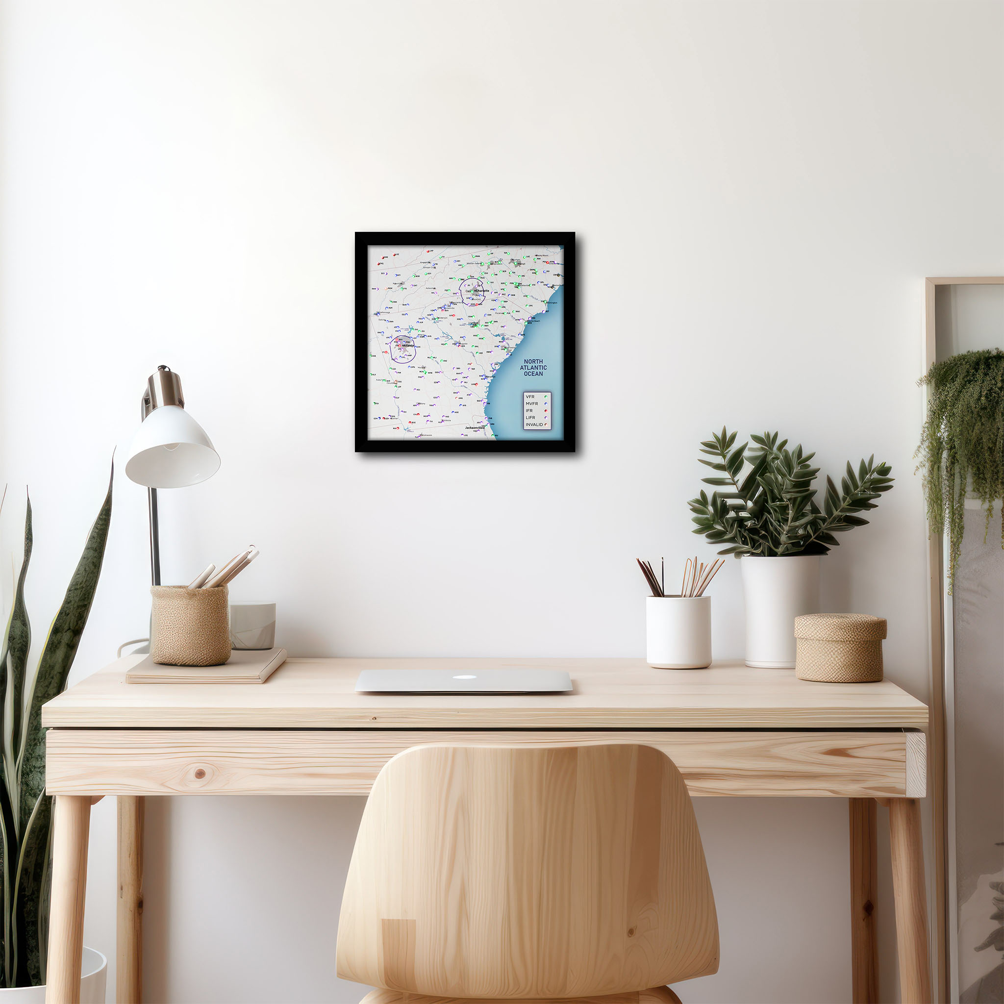
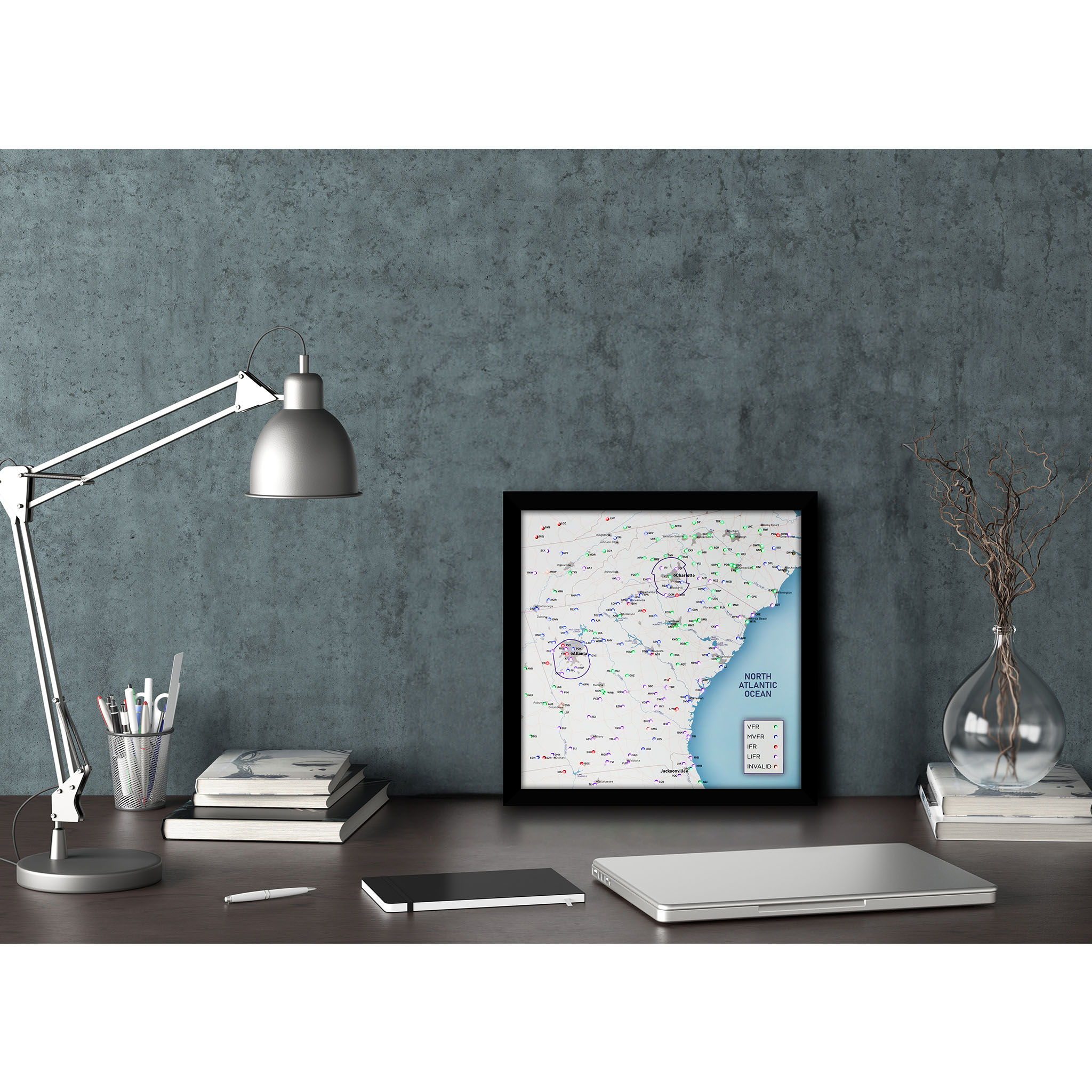
Get your own LED Aviation Weather/METAR Map for your desk or hangar wall! Your LED map comes fully finished and framed. Each LED with the latest airport weather. This makes for a very unique birthday or checkride celebration gift for any aviation enthusiast. The map will come “plug and play”, with a power adapter and only requires a Wifi network to work. You can choose between 2 different map designs. The regular FAA sectional or a cleaner style map.
What separates us from our competitors? We include almost every METAR reporting airport in the given area. Other maps show 30-40 we show 195! Scroll down to see all airports included.
Ships in 5 to 7 days
Plug and play, Wi-Fi needed
Live FAA data, no subscription
Handmade in the USA
Airports included195
KSGJ, KCRG, KNRB, KFHB, KJAX, KVQQ, KLCQ, KTLH, KMAI, KEDN, KOZR, KDHN, KBIJ, KBGE, KCXU, KMGR, KTVI, KVLD, KVAD, KHOE, KAYS, KSSI, KBQK, KJES, KBHC, KAMG, KFZG, KTMA, KABY, KEUF, KTOI, KLSF, KACJ, KPXE, KMCN …
Show all 195
KWRB, KEZM, KVDI, KRVJ, KLHW, KSVN, KHXD, KNBC, KSAV, KCWV, KTBR, KJYL, KMHP, KSBO, KDBN, KOKZ, KMLJ, KOPN, KCSG, KAUO, KALX, KANB, KLGC, KPIM, KCCO, KCTJ, KPUJ, KRMG, KVPC, KRYY, KMGE, KFTY, KATL, KFFC, KHMP, KCVC, KHQU, KDNL, KAGS, KBNL, KAQX, KRBW, KJZI, KCHS, KMKS, KDYB, KOGB, KXNO, KAIK, KIIY, KAHN, KWDR, KLZU, KPDK, KCNI, KJZP, KDNN, KCHA, KRZR, KMMI, KDZJ, KGVL, KJCA, KAJR, KRHP, KTYS, KRKW, KCSV, KSCX, KEKQ, KSME, KLOZ, KJAU, KMOR, KGKT, KTOC, KCEU, KAND, KLQK, KGYH, KGMU, KGSP, KSPA, KAVL, KGCY, KTRI, KVJI, KLNP, KGEV, KMRN, KFQD, KEHO, KLUX, KEOE, KFDW, KCAE, KCUB, KMMT, KSSC, KSMS, KCKI, KGGE, KHYW, KMYR, KCRE, KMAO, KFLO, KCDN, KLKR, KDCM, KUZA, KCLT, KIPJ, KSVH, KHKY, KUKF, KMWK, KSIF, KINT, KEXX, KRUQ, KJQF, KEQY, KHVS, KUDG, KBBP, KCQW, KRCZ, KAFP, KVUJ, KHBI, KGSO, KBUY, KSCR, KTDF, KRDU, KTTA, KSOP, KHFF, KMEB, KCPC, KSUT, KILM, KEYF, KFAY, KFBG, KPOB, KHRJ, KLHZ, KRWI, KPGV, KOCW, KISO, KGWW, KGSB, KCTZ, KDPL, KOAJ, KNCA, KEWN
About this map
Get your own LED Aviation Weather/METAR Map for your desk or hangar wall! Your LED map comes fully finished and framed. Each LED with the latest airport weather across Georgia, South Carolina, and North Carolina. This makes for a very unique birthday or checkride celebration gift for any aviation enthusiast. The map will come “plug and play”, with a power adapter and only requires a Wifi network to work.
What separates us from our competitors? We include almost every METAR reporting airport in the area. Other maps show 30-40 we show 195!
We offer 2 different map designs, the classic FAA sectional and a cleaner more stylish version we specially designed.
Features:
-
- LEDs update their color according to the prevailing airport conditions every 15 minutes.
- On high winds, the LED of the airport blinks.
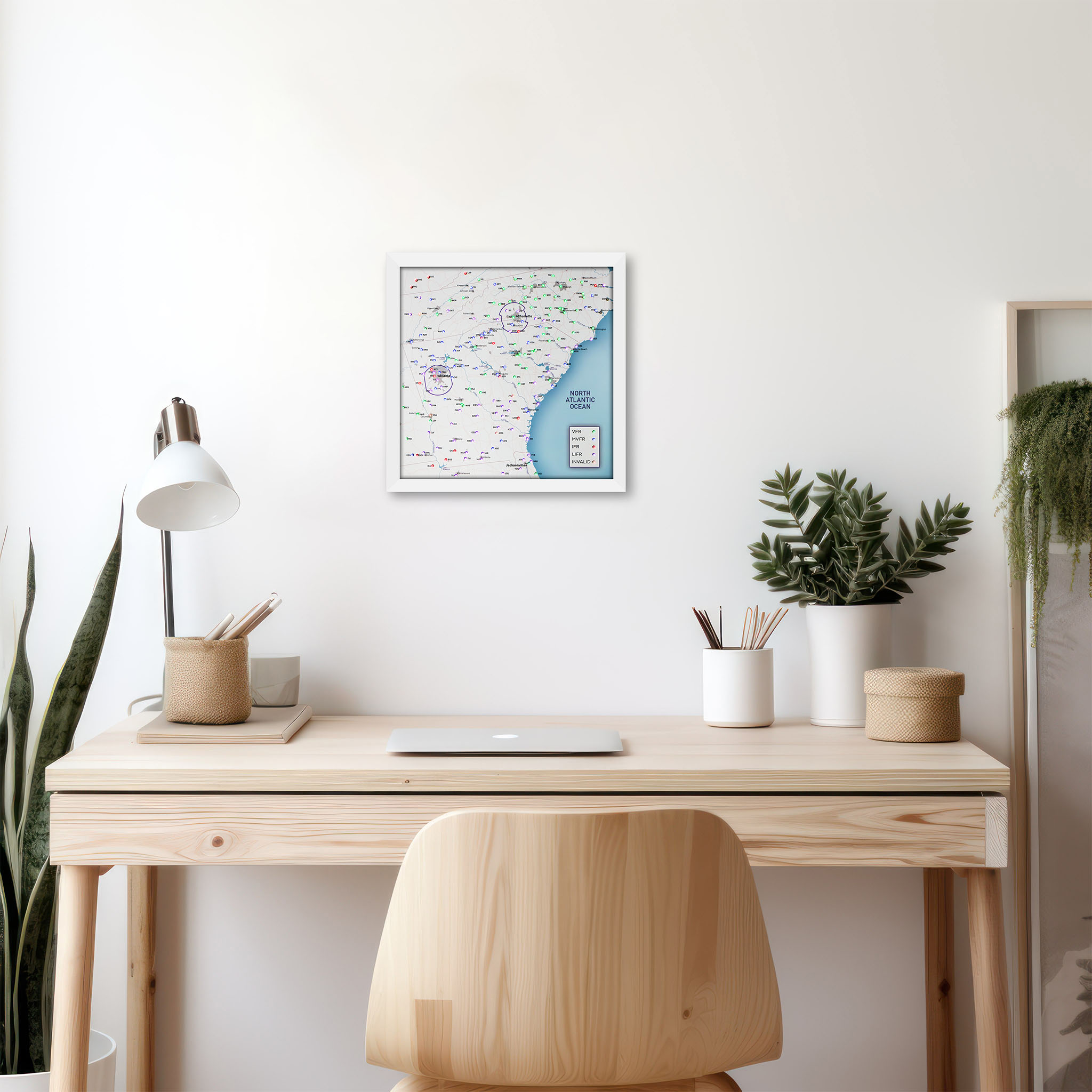
- Frames come pre-installed and are ready to hang on your wall or put on to your desk.
- Size: 9.75 x 9.75 inch / 25×25 cm
LED Color Coding:
1. VFR = Green
2. MFR = Blue
3. IFR = Red
4. LIFR = Purple
5. High Winds = Flashing
What the colours mean
Green VFR, blue MVFR, red IFR, magenta LIFR. A flashing LED means high winds (you can turn flashing off). Updates every 15 minutes from the FAA.
Setup
Hang it, plug in the included power adapter, join your Wi-Fi from your phone. About two minutes. No app or account.
Shipping
Shipping costs show in the cart before you pay: a flat US rate by map size, and international rates by country.
Size
9.75 x 9.75 in
25 x 25 cm, frame included
Airports
200 LEDs
Nearly every METAR station in the region
Power
Wall adapter
Included in the box
Data
FAA, live
Every 15 minutes, no subscription
Own this map? Tell other pilots what you think.